Cedar City & Iron County: The Ultimate UTV Trail Guide
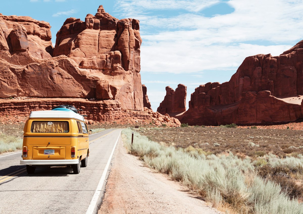
Cedar City isn't just a pit stop on the way to somewhere else. It's where 500+ miles of UTV trail converge across high desert, alpine forest, volcanic badlands, and mountain passes that top 10,000 feet. This is Southern Utah's off-road capital — and this guide covers every trail worth riding in Iron County.
Cedar City (population ~35,000, elevation 5,846 ft) sits at the junction of Interstate 15 and Highway 14 in Iron County, Utah. It's the gateway to Brian Head Resort, Cedar Breaks National Monument, and the western edge of Dixie National Forest. Within a 30-minute drive you can be staging at trailheads that range from flat desert gravel to rocky alpine singletrack above timberline. The town itself has full services — fuel, lodging, restaurants, and D&P Performance, a local powersports dealer at (435) 586-5172 that handles service, parts, and real-time trail condition updates for the entire region.
What makes Cedar City special for UTV riders is variety. In one long weekend you can ride easy high-desert petroglyphs at Parowan Gap, cruise alpine meadows at Duck Creek, tackle rocky canyons on the Black Canyon loop, and challenge yourself on the expert-level Cedar Breaks backcountry — all without driving more than 45 minutes from your hotel. No other base camp in Southern Utah offers that range.
Easy Trails — Perfect for Beginners & Families
These trails are ideal for first-time riders, families with kids, or anyone who wants a scenic cruise without white-knuckle terrain. The surfaces are primarily gravel and maintained forest roads with gentle grades.
1. Parowan Gap Trails
Thirty minutes north of Cedar City, Parowan Gap is where the high desert opens up into a broad, sun-washed valley flanked by low ridges. The terrain is smooth gravel and packed dirt — perfect for new riders building confidence. The real draw here is cultural: the gap itself is home to ancient Native American petroglyphs carved into dark volcanic rock, some estimated to be thousands of years old. It's one of those places where you shut off the engine and just look for a while.
Gap Road is the main easy route, running directly through the gap with gentle curves and no technical obstacles. For a longer ride, the Little Salt Lake Loop extends the route into a 20-mile perimeter cruise with sweeping mountain vistas and open rangeland views. Both routes are suitable for stock UTVs with no modifications needed.
2. Duck Creek OHV Trail System
Duck Creek is one of Southern Utah's best-kept secrets for mellow, scenic riding. Tucked into the Dixie National Forest along Highway 14, this system threads through alpine meadows and mixed conifer forest at around 8,500 feet. The air is cool, the scenery is stunning, and the trails are well-maintained and clearly marked.
Key routes include the Aspen Mirror Lake Loop (15 miles, easy, with a glassy lake reflection that lives up to its name), the Navajo Lake Trail (10 miles, gentle grades through old-growth forest to a pristine alpine lake), and Strawberry Point (8 miles to a dramatic overlook of the pink cliffs below). For the full breakdown of every route in this system, check out our Duck Creek OHV Trail Guide.
Pro Tip
Start with Parowan Gap if you're brand new to off-road riding. The terrain is forgiving, the scenery rewards you immediately, and you're never far from the highway. Once you're comfortable on gravel and packed dirt, graduate to Duck Creek for longer rides with more elevation variety.
Moderate Trails — Intermediate Riders
These trails introduce rocky sections, steeper climbs, creek crossings, and longer distances. You should be comfortable with basic trail riding and have a UTV with decent ground clearance and reliable cooling.
3. Black Canyon Trail
Black Canyon is a favorite among intermediate riders for its variety. Starting about 15 miles west of Cedar City on Highway 56, this loop takes you through rocky canyon sections, rolling forest roads, and open desert with long-range views stretching toward the Nevada border. The trail transitions between terrain types smoothly, so you never get bored and never get overwhelmed.
Plan 4-6 hours for the full loop. The rocky sections aren't extreme, but they demand attention — loose surfaces on grades, some shelf road with exposure, and a few wash crossings that can hold water after rain. Bring plenty of fuel; there are no services on route.
4. Brian Head ATV & UTV Trails
Brian Head is Cedar City's high-country playground, just 30 minutes up Highway 143. At 10,000+ feet, these trails run through dense alpine forests of spruce, fir, and aspen — with summer temperatures 20-30 degrees cooler than the valley floor. It's where locals go to escape the heat and ride in some of the most beautiful alpine terrain in the state.
The Pioneer Trail is a 12-mile loop through aspen groves that's spectacular in late September when the leaves turn gold. Steam Engine Meadow (8 miles) is the most beginner-friendly route up here — wide forest roads through open meadows with wildflowers in July. Dark Hollow is the one to watch: technical, steep, and rated advanced. Don't attempt it unless you have experience with rocky, off-camber terrain and a machine with good clearance.
Because Brian Head trails climb above 10,000 feet, altitude effects are real. Your engine will lose noticeable power, and your body will feel the thin air on steep sections. Read our guide to altitude effects on UTVs before you head up.
5. Slaughter Creek Trail
Slaughter Creek is the trail you ride when you want to disappear for a while. At nearly 81 miles, this is a remote, full-day route through creek crossings, wildlife corridors, and terrain that feels genuinely untouched. Deer, elk, and wild turkeys are common sightings — particularly in the early morning hours when the creek bottoms are quiet.
The creek crossings are the main technical feature. Most are shallow and manageable in dry conditions, but spring runoff or recent rain can change that quickly. Dispersed camping is available along the route if you want to split this into an overnight trip, which is honestly the best way to do it. Bring everything you need — there's nothing out here but you and the trail.
6. Studhorse Draw Trail
Studhorse Draw is a 96-mile loop that takes you through one of the most dramatic ecosystem transitions in Iron County. You start in open desert scrub, climb through pinyon-juniper woodland, and top out in mountain meadows with scattered ponderosa pine. The variety of landscapes over a single ride is remarkable.
Wildlife viewing is excellent throughout, particularly in the transition zones where desert meets mountain. Pronghorn antelope, mule deer, and raptors are regular sights. The trail surface alternates between packed dirt, gravel, and occasional rocky washes. No single section is extremely technical, but the sheer length demands a full day, good fuel planning, and awareness of weather — afternoon thunderstorms can turn washes into temporary rivers.
7. Mineral Mountain Trail
Mineral Mountain is a full-day adventure through historic mining districts, alpine meadows, and some of the most significant elevation gain in the area — nearly 5,800 feet over 70 miles. The trail passes old mine sites, rusted equipment, and collapsed structures that tell the story of Iron County's mining heritage. Higher up, you'll ride through open meadows where pronghorn antelope graze against a backdrop of distant peaks.
Start early — 6 to 8 AM is ideal. This trail takes 8-10 hours for most riders, and you don't want to be navigating the mountain sections after dark. The sustained climbing means engine heat management is critical; take breaks on long ascents and monitor your temperature gauge. Fuel range is also a factor — top off before you leave and carry extra if your tank is under 10 gallons.
Pro Tip
For the moderate trails over 60 miles, carry a 2-gallon fuel can. There are zero fuel stops on Slaughter Creek, Studhorse Draw, or Mineral Mountain. Running dry 40 miles from the nearest gas station is not a story you want to tell. Check fuel range before you leave — most UTVs get 8-12 mpg on trail, less on sustained climbs.
Difficult & Expert Trails — Experienced Riders Only
These trails feature rocky mountain passes, extreme elevation, volcanic terrain, and distances that push both rider and machine to the limit. You need a capable, well-maintained UTV with good clearance, a full tool kit, recovery gear, and solid off-road experience before attempting any of these routes.
8. Cedar Breaks Backcountry
Cedar Breaks is the crown jewel. At over 10,000 feet, the backcountry trails surrounding Cedar Breaks National Monument offer views of a 2,500-foot-deep amphitheater of eroded red, orange, and white limestone that rivals Bryce Canyon — without the crowds. Ancient bristlecone pines (some over 1,600 years old) cling to exposed ridgelines, and in late July through August the alpine meadows explode with wildflowers.
The difficulty isn't in technical obstacles so much as in the environment. You're above 10,000 feet on rocky, uneven terrain with limited cell service. Weather changes fast up here — clear skies can become violent thunderstorms in 30 minutes. Snow typically keeps these trails closed until early July, and they can close again by late September. Your UTV needs good ground clearance, and you need to be prepared for significant altitude effects on both your machine and your body.
9. Hardscrabble Trail
Hardscrabble lives up to its name. The 46.3-mile rugged core of this 78-mile route crosses rocky mountain passes, skirts old mining remnants, and demands sustained attention over hours of varied terrain. This is not a cruise — it's a proper backcountry challenge where route-finding skills matter and a breakdown can mean a long day.
Dispersed camping along the route makes this an excellent overnight trip. Set up camp at one of the flat spots near the old mining areas, ride the technical sections during the cool morning hours, and save the easier return for the afternoon. Bring a full tool kit, tow strap, and spare belt. Cell service is nonexistent for most of the route.
10. The Pinnacles OHV Trail
The Pinnacles trail is a 100-mile loop through some of Iron County's most striking volcanic geology. Towering rock spires, eroded volcanic formations, and deep-cut draws create a landscape that feels more like another planet than Southern Utah. The signature viewpoint — the pinnacle overlook at approximately mile 23 — is worth the price of admission alone. Weathered volcanic columns rise from the desert floor like stone sentinels.
Beyond the pinnacles, the trail threads through an ancient juniper grove where gnarled, centuries-old trees grow from bare rock. Plan 5-7 hours for the full loop. The terrain is consistently challenging — loose rock, steep washes, and some narrow sections where a wider UTV will need careful line selection. Fuel management is critical on a 100-mile loop with no services.
11. Pine Valley to Enterprise Trail
This is the big one — 182 miles point-to-point from Pine Valley through the mountains and open rangeland to Enterprise. It's a multi-day expedition that traverses dense pine forests, crosses open cattle range, and passes Pine Valley Reservoir where you can fish for trout during a rest day. The terrain is varied and relentless: forest two-track, rocky climbs, sandy washes, and long exposed stretches of high desert.
This route requires serious logistics. You need a shuttle vehicle at Enterprise, or plan a return route on pavement. Fuel stops don't exist on trail, so carry enough for your machine's worst-case consumption. Most riders plan 2-3 days, camping along the route. The reward is an epic traverse of Iron County's most remote and beautiful backcountry — the kind of ride you plan for months and talk about for years.
Pro Tip
Never ride expert trails alone. On routes like Hardscrabble, The Pinnacles, or Pine Valley to Enterprise, cell service is nonexistent for long stretches. Ride with at least one other machine, carry a satellite communicator (Garmin inReach, ZOLEO, or similar), and file a trip plan with someone who isn't on the trail with you. A breakdown at mile 90 on a 182-mile trail is no joke.
Where to Fuel Up & Stay
Cedar City is your base of operations, and it has everything you need. Multiple gas stations along Main Street and the I-15 corridor, hotels and motels ranging from budget to comfortable, and restaurants that understand hungry riders showing up covered in dust. For UTV service, parts, or current trail conditions, D&P Performance in Cedar City is the local go-to — call them at (435) 586-5172 before your trip for the latest on trail closures, snow conditions, and seasonal access.
Brian Head offers lodging right at the trailhead for the alpine trails. Cabins, condos, and the Brian Head Hotel put you within minutes of Pioneer Trail, Steam Engine Meadow, and Cedar Breaks access. Summer rates are significantly lower than ski season. Duck Creek Village along Highway 14 has a small general store, cabin rentals, and a fuel pump — making it a convenient staging point for the Duck Creek trail system without needing to return to Cedar City.
Before You Ride: Iron County Trail Checklist
Cedar City / Iron County Ride Checklist
- ✓ Utah OHV registration current and sticker visible
- ✓ Full tank of fuel plus extra cans for trails over 60 miles
- ✓ Spare CVT belt, basic tool kit, and tow strap
- ✓ Tire pressure checked and aired down appropriately for terrain
- ✓ 3+ liters of water per rider, plus electrolytes for high-elevation trails
- ✓ Downloaded offline trail map (cell service is unreliable on most routes)
- ✓ Weather forecast checked — afternoon thunderstorms are common May through September
- ✓ Trip plan filed with someone not on the ride
- ✓ Satellite communicator for expert-level backcountry trails
- ✓ Call D&P Performance at (435) 586-5172 for current trail conditions
For more Southern Utah trail options beyond Iron County, browse our complete guide to the best UTV and ATV trails in Utah. If you're planning to ride the higher-elevation trails at Brian Head or Cedar Breaks, make sure to read our deep dive on how altitude affects your UTV and your body — it could save your belt and your ride. And for the full breakdown of the Duck Creek system, check out our dedicated Duck Creek OHV Trail Guide.
Ready to Ride Cedar City?
Explore every trail in Iron County with GPS coordinates, difficulty ratings, and seasonal access info on our interactive trail map.
Explore Trails →